Want to save time and money when mapping out existing or potential sites for a new project? With our 3D laser scanners we can save you countless man-hours while providing you with a detailed drawing of your space, down to an eighth of an inch.
The data collected can improve efficiency and productivity in both the field and the office with accurate and reliable 3D representations of your site. We know that complex site conditions require the most accurate and reliable data possible so that potential issues can be resolved quickly and as-built details can be verified. Regular scans can help to verify the accuracy of work as well as monitor project progress. Laser scanning can provide you with comprehensive documentation of a site, during all stages of the construction process.
The scanner can be used for short to medium scan ranges both indoors and outdoors. Densely packed mechanical rooms and hard to access places are easily mapped using this technology.
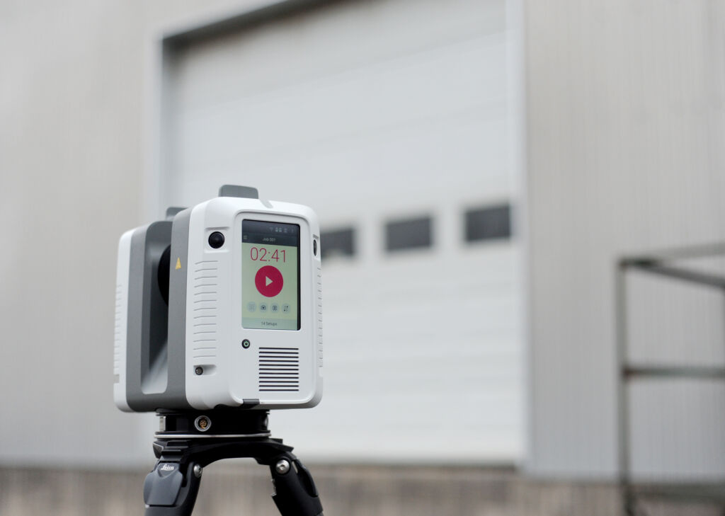
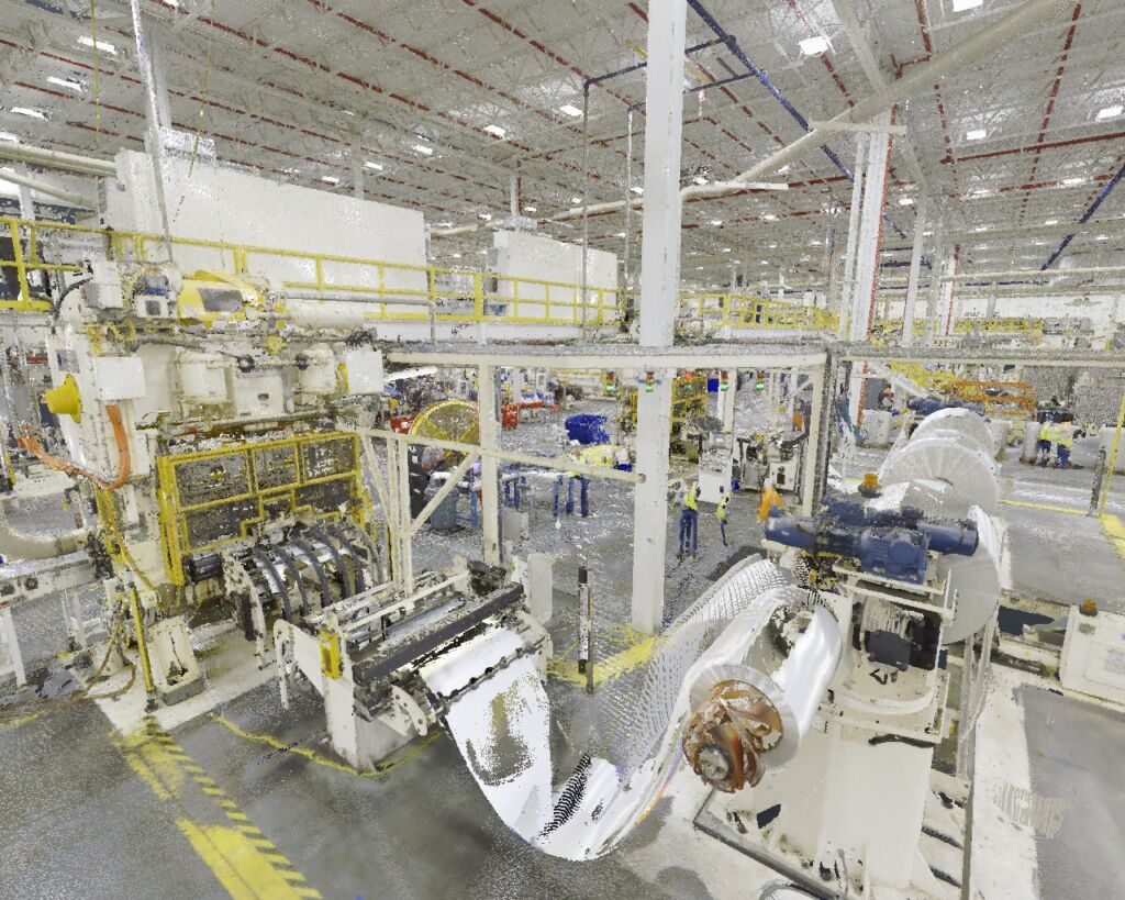
The Leica RTC360 can capture scans, including High-Dynamic Range (HDR) images, in less than two minutes. The scanner can measure up to two million points per second and has the ability to create a rough sketch of your space while in the field. Once the scan has been fully processed the high-quality 3D scans will be full of detail and ready for your engineering calculations, space design, project planning, or unique application.
The Leica BLK2GO is a handheld scanner that can scan an entire building, structure, or other large environment in minutes. It is perfect for capturing MEP layouts in ceilings or preparing for a fit-out design.
If you need to determine the best way to place a new piece of equipment in your factory, how to tie in an addition or want to design a completely new space, let Zartman Construction help.
Game Changing Technology
> Gain quality – High-definition HDR images and drawings accurate down to an eighth of an inch, even at 100 feet
> Save money – Increased accuracy means fewer change orders and misspent labor.
> Save time – Scanning is three to five times faster than when done by hand. When using data collected with a scanner there is no need for a return visit to collect additional data.
> Worker Safety – The scanner takes measurements contact free, reducing the need to place workers in potentially hazardous or hard to access areas.
What can these scans be used for?
> As-builts for planning and renovation
> As-builts for fabrication and installation
> As-builts for industrial build outs
> Build-out for retrofit planning
> As-built MEP models for clash detection
> Retail space management and planning
> Archival documentation for heritage and preservation
> Site planning
> Animated fly-throughs
> Reverse engineering
> “Point in time” documentation for future reference

Details about the Leica BLK2GO
- 360° horizontal and 270° vertical field of view
- Indoor accuracy to +/- 10 mm
- 0.5-25m range

Details about the Leica RTC360
> Measure up to 2 million points per second
> Colored 3D point clouds
> Full scan in under three minutes
> Automated field registration

